FREE LESSON 1
TERRAIN ASSOCIATION: READING LAND LIKE TEXT
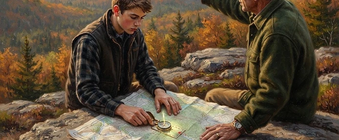
Advanced navigators don't navigate FROM the map — they navigate WITH it, holding a continuous conversation between the paper and the land. This is terrain association: matching the shapes around you to the contour shapes on the map so you always know your position within a hundred yards. The vocabulary is small: ridges (contour U's pointing downhill), draws and valleys (V's pointing uphill), saddles (the low spot between two highs), spurs (short ridges off a main one), and benches (flat shelves on a slope).
The discipline is the running fix: at every notable feature — a creek crossing, a saddle, a bench — you confirm your position on the map before continuing. Position confirmed every ten minutes means you can never be more than ten minutes lost. Skip five confirmations in a row and you've silently bet an hour of searching on your memory.
Master orienting the map: rotate it until the map's north matches the compass's north, and suddenly the map becomes a window — the ridge on the paper IS the ridge on your left. And learn to read terrain for travel cost, not just direction: two contour lines of climb through a laurel thicket can cost more time and energy than a mile around on a bench. The shortest line on paper is often the slowest, wettest, most dangerous route on the ground. Route selection IS navigation.
- Terrain vocabulary: ridges, draws, saddles, spurs, benches — match land shapes to contour shapes
- Run position fixes at every notable feature — you can never be more lost than your last fix
- Orient the map to north and read terrain for travel COST, not just direction
FIELD NOTE · On a topo map of your hunting ground, identify and label one ridge, one draw, one saddle, and one bench with your mentor — then go stand on each one and watch the paper turn into land.