COURSE DETAILS

FREE PREVIEW · NO ACCOUNT NEEDED · SCOUTS · AGES 9–12

WILDERNESS NAVIGATION & WEATHER READING

Read the first 2 lessons right here — narration included, exactly as your child would see them. Sit down with them and try it now.

FREE LESSON 1

WHY HUNTERS LEARN TO NAVIGATE
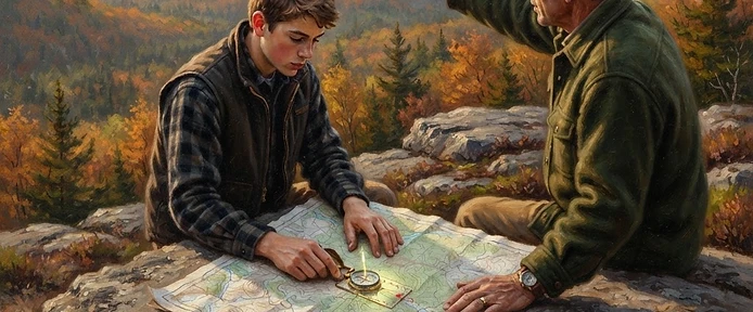
Why Hunters Learn to Navigate

Hunting takes you off the trail on purpose. You follow a ridge toward a rub line, drop into a creek bottom after a blood trail, circle downwind of a bedding area and every one of those moves takes you farther from the marked path. Navigation isn't a bonus skill for hunters. It's the skill that makes all the other skills safe to use.

Here's the uncomfortable fact: most lost hunters are experienced hunters. They know the property 'like the back of their hand' until fog rolls in, or a blood trail leads them into new country, or darkness falls faster than expected. Getting lost isn't about being a beginner. It's about conditions changing faster than your attention.

This course builds your navigation system in layers: reading a map, using a compass, tracking landmarks, reading weather before it reads you, and knowing the exact protocol if you're ever truly turned around. Your phone's GPS is a great tool and a terrible only-plan. Batteries die, screens break, signals vanish. Navigators carry skills that never need charging.

  • Hunting takes you off-trail on purpose — navigation makes that safe
  • Most lost hunters are experienced hunters caught by changing conditions
  • GPS is a tool, not a plan — real skills never run out of battery

FIELD NOTE · Ask your mentor about a time they got turned around in the woods. What changed — fog, darkness, new country? What got them out?

FREE LESSON 2

READING A TOPOGRAPHIC MAP

Reading a Topographic Map

A topographic map shows the shape of the land using contour lines each line connects points at the same elevation. The one rule that unlocks everything: lines close together mean steep ground; lines far apart mean gentle ground. A cluster of tight rings is a hill or knob. Lines forming a V pattern point UPSTREAM when they cross a creek the V aims uphill.

Learn the map's language: green usually means forest, white means open fields, blue means water, dashed lines mean trails or small roads. The scale bar tells you real distances on a typical hunting map, learn what a half-mile looks like so you can estimate travel time (rough woods walking covers about one mile per half hour, slower with gear or hills).

Before any hunt, study the map at home: find the parking spot, your stand or hunting area, the property boundaries, and most important your 'catch lines.' A catch line is a big feature you can't walk past without noticing: a road, a creek, a powerline cut. If your hunting area sits north of a road, then no matter how turned around you get, walking south eventually hits that road. Knowing your catch lines before you need them turns 'lost' into 'inconvenienced.'

  • Contour lines close together = steep; far apart = gentle; V's point upstream
  • Learn the scale — woods walking covers roughly a mile per half hour
  • Find your catch lines before every hunt: roads, creeks, and cuts you can't miss

FIELD NOTE · Print or pull up a topo map of your hunting area with your mentor. Find the steepest slope, the nearest creek, and name your catch lines in every direction.

THE REST OF THIS MISSION

FINISH THE MISSION AND EARN THE TROPHY

  • The Compass: Your Most Honest Tool
  • Landmarks, Handrails, and Staying Found
  • Reading Weather Before It Reads You
  • The Lost-Hunter Protocol: STOP
  • 7 scenario drills and safety checks with instant feedback
  • The mission trophy, added to your child's trophy case
CREATE YOUR FREE PARENT ACCOUNT

NO CARD REQUIRED · TAKES ABOUT A MINUTE

Compass Navigator

COMPASS NAVIGATOR

LOCKED

FREE PREVIEW · KEEP GOING FOR FREE

CREATE FREE ACCOUNT